

Trans Euro Trail (TET) It is the dream of the adventure motorcyclist – a route of about 100,000 kilometers. This adventure-themed adventure takes you from the shores of Europe all the way to the Arctic Circle.
The TET route network has been created at the behest of the adventure motorcycling community.states, and routesThe data can be downloaded as GPX files by country. In Finland, the TET route network covers almost 8,000 kilometers, and it consists mainly of small and unpaved roads..
The driver is always responsible for the legality of the route. The rules to which the TET community has committed itself can be found on the official website of the TET route.. It is important to follow these rules and to be aware of your own responsibility when driving on the road.. Also make sure that you always have the latest version of the GPX file available, as updates are made to the routes regularly..
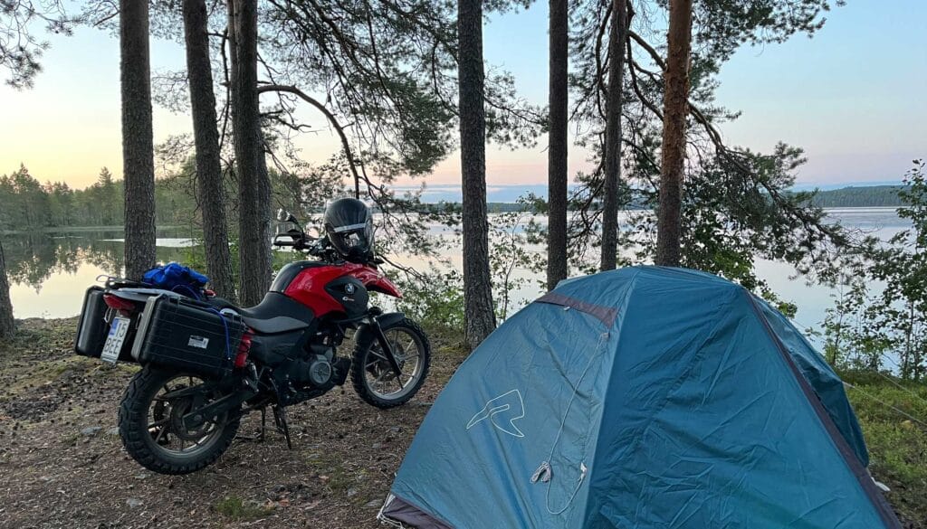
Campsite by the lake
Follow the TET routes for free with the free version of the app
Driving the TET routes with Bikaven does not require a paid subscription: Importing and tracking routes is completely possible with the free version of the app. You can download the official TET or GPX file to your device and effortlessly import it into Bikenaavi without any additional costs.. With the free version, you can clearly see the entire route during driving, as well as all the important points included in the downloaded file, such as campsites, refueling points, and food outlets..
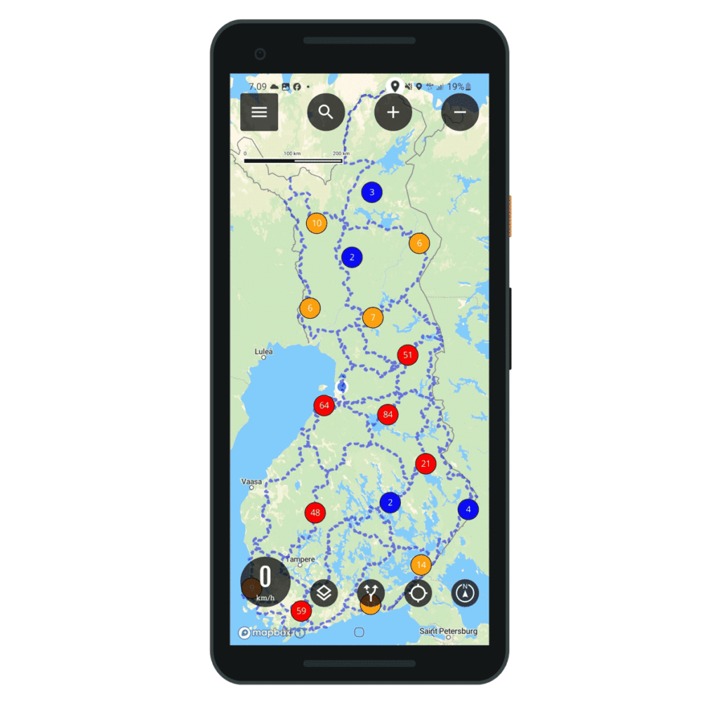
TET routes imported into the app
See instructions for downloading
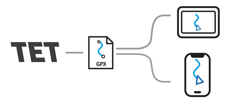
Download the GPX file from the TET website and import it into the Bikenavi mobile app. The file contains location information for food places, campsites, accommodations, gas stations, as well as the route and attractions.
Plan your own adventure easily!
Creating your own adventures is possible directly in the application or app.bike names On the web. You can easily distinguish unpaved roads on the map, and the Adventure profile automatically routes you on smaller unpaved trails. This makes finding interesting dirt roads and forest trails quick without the time-consuming need to open the map. Feel free to try out different options, combine the best scenic routes with your own routes, and create an adventure that suits your driving style conveniently both on the computer and on your phone.
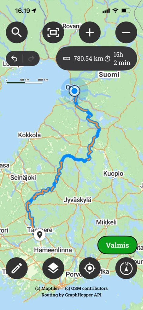
The route created using the Adventure profile
Things to note
The TET trail system is at its best with lightweight and medium-sized adventure bikes, and moving around in the terrain is made easier by lightweight packing and using soft bags.. The routes often pass through remote areas on varying road conditions, where mobile network coverage may be intermittent, so it’s worth carefully planning fuel stops and day trips.. The journey is worth taking at your own pace and enjoying the scenery..
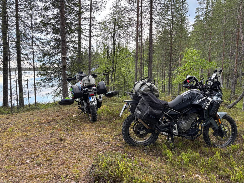
Pause on the route



 Finnish
 English
 Swedish
 German
 French
 Spanish