About route planning
Bikenavi also allows you to use a computer for planning. It is the optimal way to plan a route, making planning more enjoyable thanks to the larger screen and mouse.
Plan your route carefully in advance on your computer and then open it in the Bikenavi mobile app.
Applications always work seamlessly together.
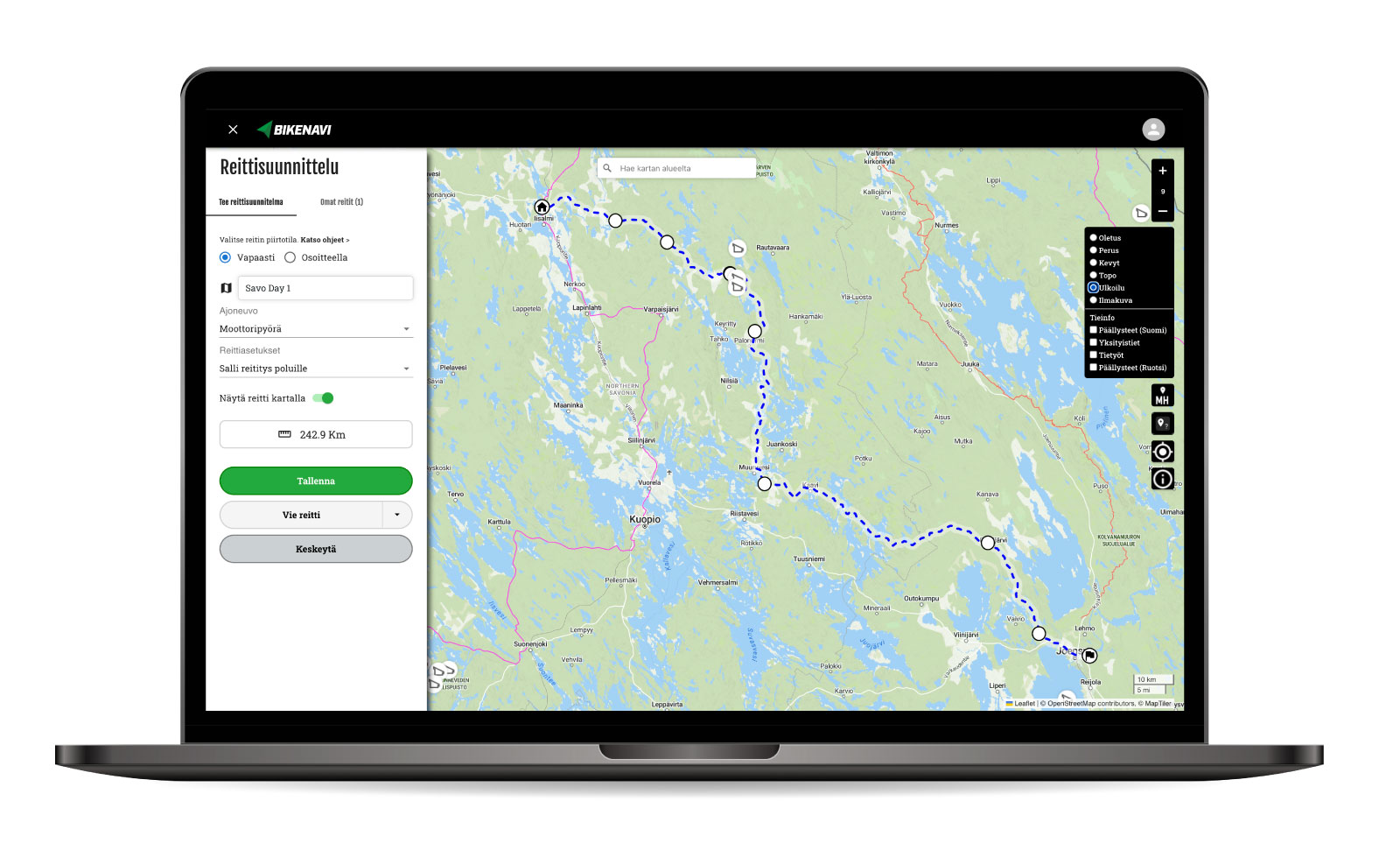
This is how route planning works on a computer
Features
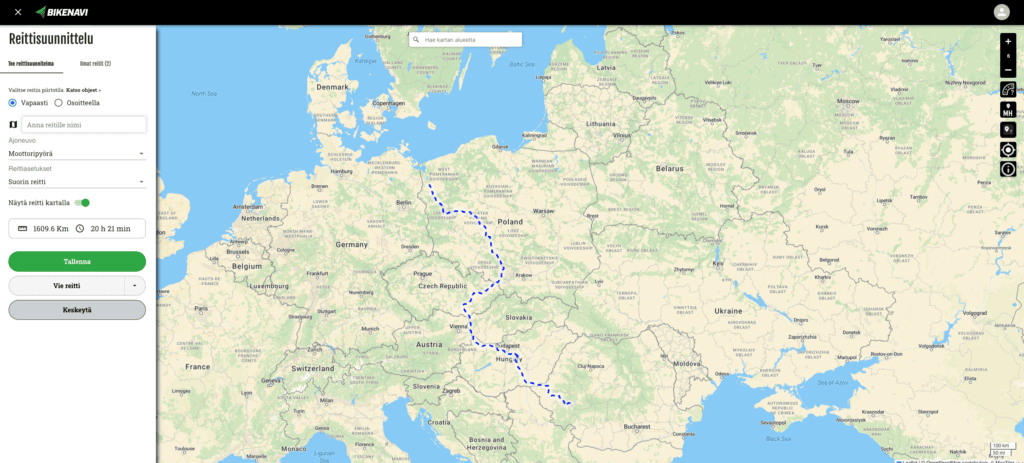
Works everywhere
Bikenavi works all over the world, wherever you cycle.
Two ways to plan a route
Option 1: Draw freely
- Use the right mouse button to add or remove waypoints. If you are using a tablet, long press to add a point.
- You can move the points you have added freely on the map and also add waypoints to the route.

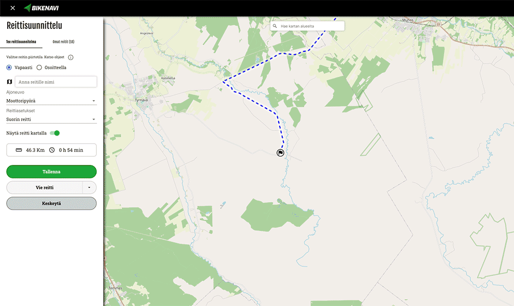
Option 2: Use addresses to help you
You can easily make a longer route by entering
- Address of the departure point
- Destination address
- Milestones
- All points can still be moved

Recording routes
You can save your planned routes to My Routes.
- Saved routes are immediately visible in the mobile app.
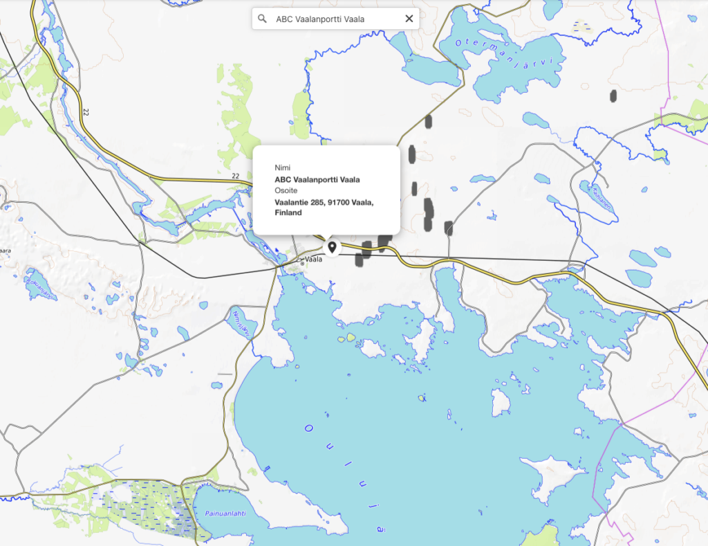
Search
You can search by typing in the search box:
- Name (Vaasa or Neste Oulunbar)
- Address (Isokatu 10, Oulu)
- Category (e.g. petrol stations)
Road surface infomation
You can see the road surface on the map. The information is available for Finland and Sweden.

Google Street View
Right-click to get a Google Street View view of the road. You can use this to help you plan your route.

Other information
The application also includes:
- Road works (Finland)
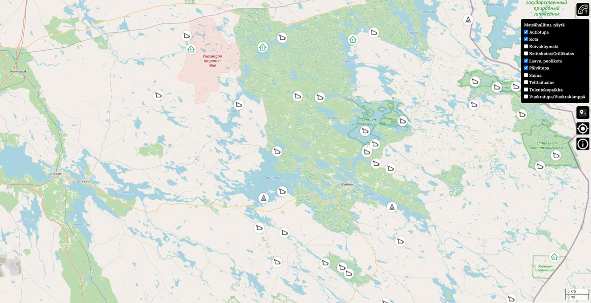
- Metsähallitus location information (Finland)
- Dry toilet
- Cooking canopy/BBQ canopy
- Lean-to, half-hut
- Day care center
- Sauna
- Camping area
- Campfire site
- Rental house/rental cabin
- Hut
- Lipas location information (Finland)
Works together
Route planning and the Bikenavi mobile app work seamlessly together.
For planning